

File:Malta relief location map.png
Size of this preview: 645 × 600 pixels. Other resolutions: 258 × 240 pixels | 516 × 480 pixels | 773 × 719 pixels.
Original file (773 × 719 pixels, file size: 150 KB, MIME type: image/png)
Summary
| Description |
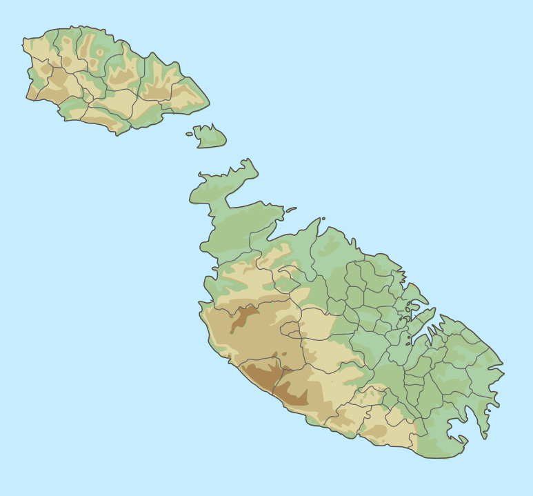
English: location map for Malta
Equirectangular projection. Geographic limits of the map:
|
| Date | |
| Source |
Malta_location_map.svg General_map_of_Malta.svg |
| Author |
Chumwa Trex Bjankuloski06en |
Licensing
This file is licensed under the Creative Commons Attribution-Share Alike 3.0 Unported license.
- You are free:
- to share – to copy, distribute and transmit the work
- to remix – to adapt the work
- Under the following conditions:
- attribution – You must give appropriate credit, provide a link to the license, and indicate if changes were made. You may do so in any reasonable manner, but not in any way that suggests the licensor endorses you or your use.
- share alike – If you remix, transform, or build upon the material, you must distribute your contributions under the same or compatible license as the original.
File history
Click on a date/time to view the file as it appeared at that time.
| Date/Time | Thumbnail | Dimensions | User | Comment | |
|---|---|---|---|---|---|
| current | 08:39, 6 August 2015 | | 773 × 719 (150 KB) | wikimediacommons>Xfigpower | User created page with UploadWizard |
File usage
There are no pages that use this file.